Hundred Islands National Park
From Wikipedia, the free encyclopedia
| Hundred Islands National Park | |
|---|---|
IUCN category II (national park)
| |

View of some of the Hundred Islands
| |
.svg) | |
| Location | Lingayen Gulf, Philippines |
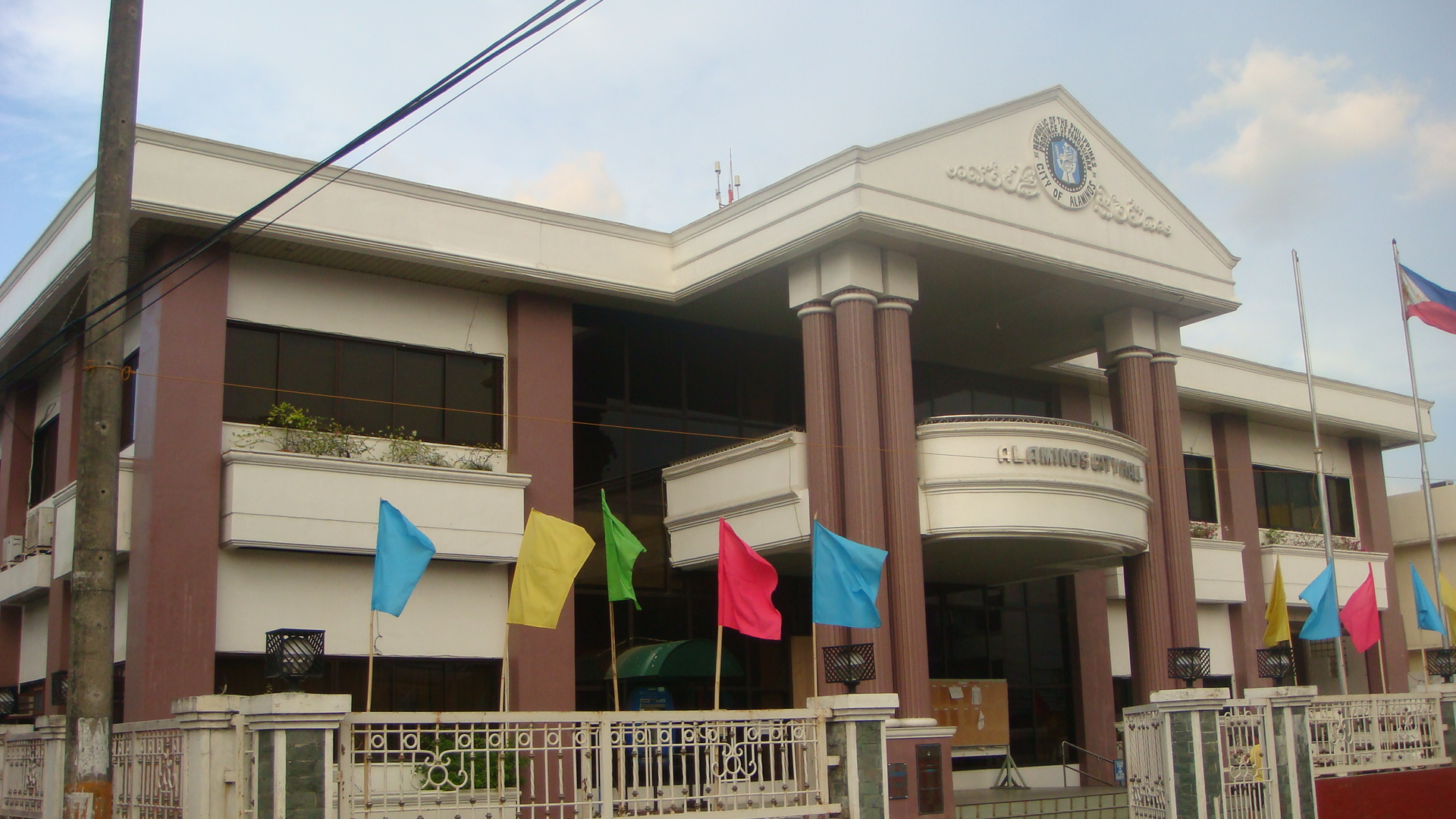
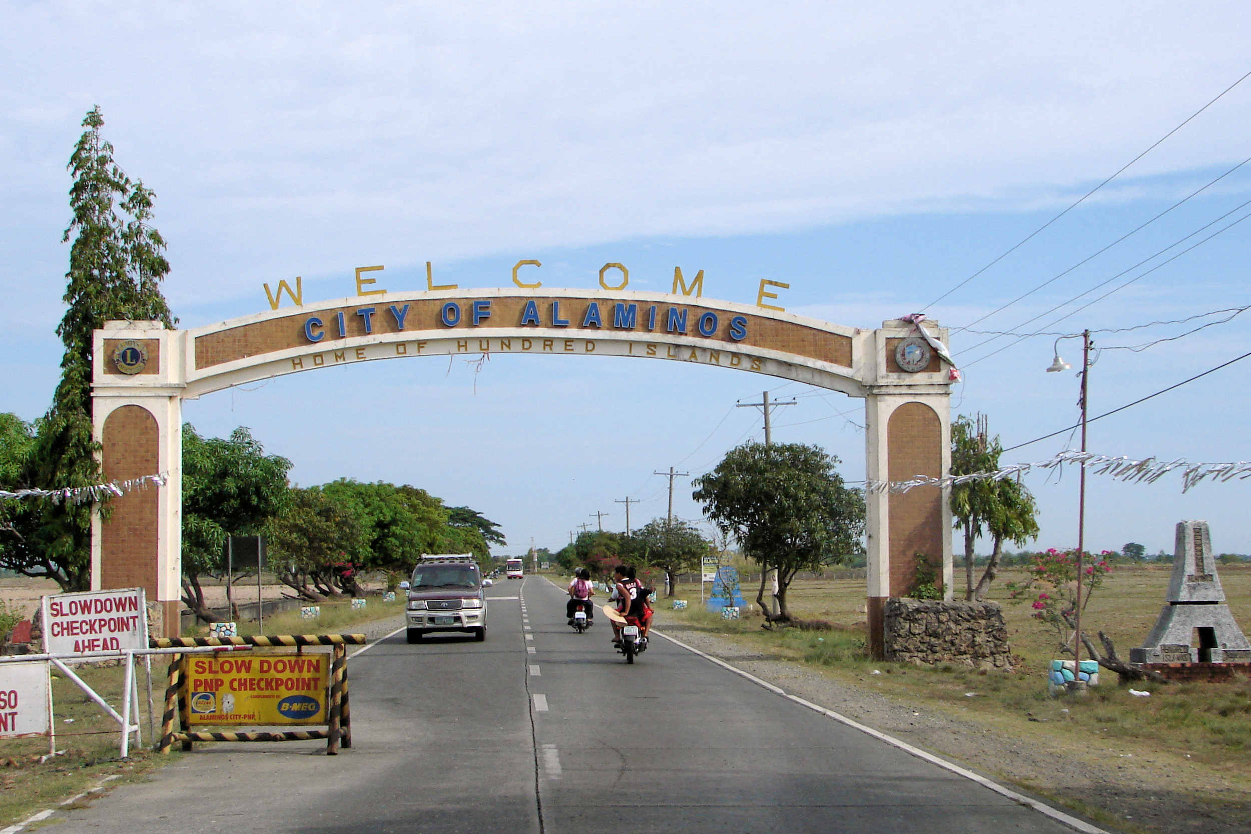
| Nearest city | Alaminos, Pangasinan |
| Coordinates | 16°12′N 120°2′E / 16.200°N 120.033°ECoordinates: 16°12′N 120°2′E / 16.200°N 120.033°E |
| Area | 1,844 hectares (4,560 acres) |
| Established | January 18, 1940 |
| Governing body | Department of Environment and Natural Resources |
| Official website | |
Geology

History
The national park was created by Presidential Proclamation No. 667, covering an area of 16.76 square kilometres (6.47 sq mi) and signed by President Manuel L. Quezon on January 18, 1940, for the benefit and enjoyment of the people of the Philippines and known as the Hundred Islands National Park (HINP). The Republic Act No. 3655 signed on June 22, 1962, created the Hundred Islands Conservation and Development Authority (HICDA), for the conservation, development and management of HINP. The park including Lucap Bay was transferred from HICDA to the Philippine Tourism Authority (PTA) by virtue of Section 35 of Presidential Decree No. 564.[2]On April 27, 1982 under Proclamation No. 2183, the national park including Lucap Bay and its foreshore areas, beginning from Sitio Telbang to the east to Sitio Recudo to the west, were declared as a Tourist Zone and Marine Reserve under the control and administration of the PTA. Subsequently under the Presidential Proclamation No. 2237 enacted on November 06, 1982, the parcels of land reserve for the Marine Fisheries Multi-Purpose Farm (created under Proclamation No. 1282 of June 21, 1974) were withdrawn and were also placed under the control and supervision of the Tourism Authority for development purposes.[2]
The Executive Order No. 436 signed by President Gloria Macapagal-Arroyo on June 21, 2005 transferred the administration, management, maintenance and operation of the whole Hundred Islands National Park (HINP), including all the activities, facilities and improvements thereafter, from the Philippine Tourism Authority (PTA) to the city government of Alaminos, Pangasinan in pursuit of Republic Act No. 7160, otherwise known as the Local Government Code of 1991, which encouraged the transfer of power and authority from the national government to local government units, in line with the government’s devolution program mandated by the Constitution.[2]
Cabarruyan Island
The Cabarruyan Island, the largest island in the island-municipality of Anda, Pangasinan located northwest of the National Park, is often referred to as the "mother island" of the Hundred Islands.[citation needed]
Fauna


- Crab-eating Macaque
- Common Palm Civet
- Dugong
- Fraser's Dolphin
- Gecko
- Monitor Lizard
- Sea turtles
- Green Sea Turtle
- Olive Ridley sea turtle
- a species of Red Turtle
- Snakes
- Laticauda colubrina, a species of sea snake
- Reticulated python
- Various Bat Species
- Various Rodent Species
Getting there
Lucap or Alaminos Wharf, the entrance to the National Park, is about 240 kilometres (150 mi) north from the Kilometer Zero marker in Rizal Park in Manila or about 3.75 hours drive by private vehicle.[1] By public transportation from Manila, the bus ride takes about 5 to 6 hours.[4]Gallery
- Quezon Island is one of the few developed tourist locations on Hundred Islands.
- Some of the islands as seen from the viewing point on Governor Island.
- One of the islands of National Park
- View of the other islands from the Governor island.
- Count Hundred Islands Monument
- Tourism and registration office of the park


.svg)
